Published: 23.06.23
A Danish company has developed drone technology with artificial intelligence to monitor forest fires in Europe. Now the company wants to fine-tune the solution for heath fires.
35,340 km2. That is how much forest and nature have gone up in flames in Europe in the last six years. This corresponds to an area larger than Belgium and comes with fatal consequences for the people, wildlife and economy in the affected areas.
Since 2019, the Danish company Robotto has been working on a drone-based solution that can help to reduce the problem for firefighters, and now the company has joined forces with the Danish Technological Institute and the Spanish drone company FuVeX to expand and strengthen the solution.
The new partnership will do this by developing a drone solution that can monitor small, active ignition points and large-scale active fires – whilst delivering real-time fire maps to emergency services throughout the day and night.
"Providing firefighters with important mission data in real-time has been our focus for a long time. So we are pleased to now be working with FuVeX and the Danish Technological Institute to provide long-range, aerial-based knowledge for firefighters around the clock and to expand our system to include detecting people and locating equipment," says Kenneth Richard Geipel, co-founder and CEO of Robotto.
The solution is primarily intended for fierce forest fires in Europe, which increasingly threaten lives and property. But according to Kenneth Richard Geipel, the plan is for it to be possible to use it for heath fires as well.
"There are several parallels between forest fires and heath fires. With heath fires, for example, it is also necessary to go over the entire area to make sure that all fire pockets have been extinguished, which is a resource-intensive process," says Kenneth Richard Geipel.
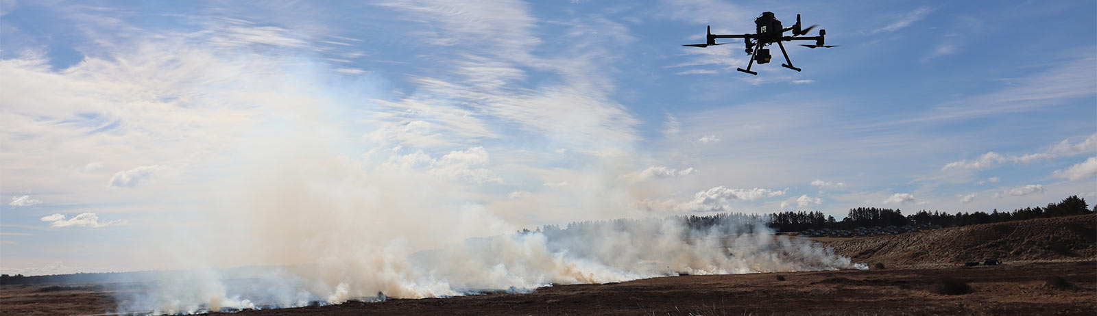
Robotto's solution thus returns to its point of origin, because in 2020, when the company began feeding artificial intelligence with data from natural fires, it initially came from controlled burns at Skallerup, which were carried out by the Danish Nature Agency Thy and North Jutland Emergency Services. And the solution received its christening by fire the following year during a heath fire where a drone supported the efforts on the ground with real-time data about the location and size of the fires and the direction and strength of the wind.
"Today, when emergency services use drones during firefighting, it is a drone transmitter that collects the information visually and plots the fires onto a map afterwards. This can be very inaccurate," says Kenneth Richard Geipel.
Conversely, the drone technology from Robotto is becoming more and more precise the more it is used. This is exactly what Kenneth Richard Geipel is hoping for in Denmark.
"Our software can be used with the DJI Matrice 300 RTK drone, but it is not yet widespread in emergency services. So we hope to work with more partners as this happens," says Kenneth Richard Geipel.